TYPE:
SENSOR
LAYER:
DS_PHR1A_202109170039218_FR1_PX_E156N50_0117_00991
FORMAT:
DIMAP
RASTER:
image/tiff
General Information
Map Name
Geometric Processing Level
Radiometric Processing Level
BASIC
Image dimensions
Number of columns
7116
Number of rows
5465
Number of spectral bands
4
Dataset framing
Vertice
Longitude (DEG)
Latitude (DEG)
Row
Col
#1
155.949430485864
50.7273229844568
1
#2
156.160451773808
50.72746435692488
#3
156.1600920302358
50.62824261209309
#4
155.9517865829773
50.62775840816565
Dataset sources
PHR
Coordinate Reference System
Projected Coordinate System
Geocoding tables identification
EPSG(6.3)
Production
Production Date
2021-09-18T06:46:39.925
Job identification
5932543201-2
Dataset Producer Identification
AIRBUS DS GEO
Producer link
http://www.geo-airbusds.com
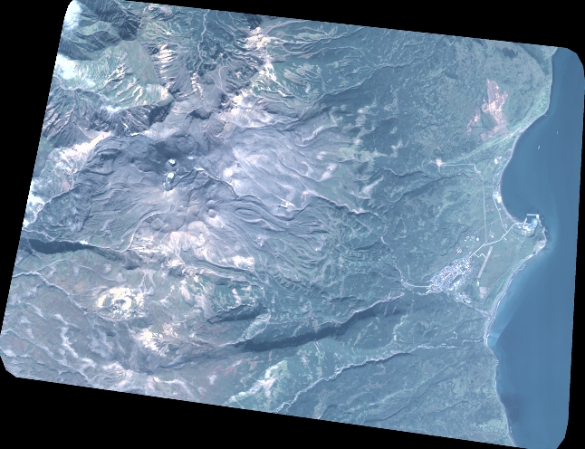
Quicklook
Copyright