TYPE:
SENSOR
LAYER:
DS_PHR1B_202109160047106_FR1_PX_E157N51_0514_01448
FORMAT:
DIMAP
RASTER:
image/tiff
General Information
Map Name
Geometric Processing Level
Radiometric Processing Level
BASIC
Image dimensions
Number of columns
27838
Number of rows
32032
Number of spectral bands
1
Dataset framing
Vertice
Longitude (DEG)
Latitude (DEG)
Row
Col
#1
157.2602503876711
51.63216429012815
#2
157.4682380872547
51.63552026784317
#3
157.4696478315489
51.48805509214051
#4
157.2607022211624
51.48438837951424
Dataset sources
PHR
Coordinate Reference System
Projected Coordinate System
Geocoding tables identification
EPSG(6.3)
Production
Production Date
2021-09-16T20:55:10.148
Job identification
5929785101-1
Dataset Producer Identification
AIRBUS DS GEO
Producer link
http://www.geo-airbusds.com
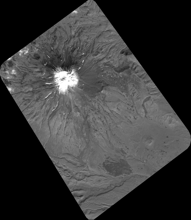
Quicklook
Copyright