TYPE:
SENSOR
LAYER:
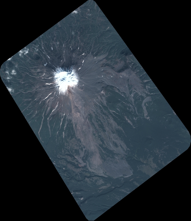
DS_PHR1B_202109160047106_FR1_PX_E157N51_0514_01448
FORMAT:
DIMAP
RASTER:
image/tiff
General Information
Map Name
Geometric Processing Level
Radiometric Processing Level
BASIC
Image dimensions
Number of columns
6960
Number of rows
8008
Number of spectral bands
4
Dataset framing
Vertice
Longitude (DEG)
Latitude (DEG)
Row
Col
#1
157.2602675357059
51.6321583667562
1
#2
157.4682478479358
51.63551309537267
#3
157.4696582672787
51.48805958550458
#4
157.2607201720844
51.48439416136665
Dataset sources
PHR
Coordinate Reference System
Projected Coordinate System
Geocoding tables identification
EPSG(6.3)
Production
Production Date
2021-09-16T21:08:49.220
Job identification
5929785101-2
Dataset Producer Identification
AIRBUS DS GEO
Producer link
http://www.geo-airbusds.com
Quicklook
Copyright