TYPE:
SENSOR
LAYER:
DS_PHR1A_202109160458431_FR1_PX_E089N34_0201_00589
FORMAT:
DIMAP
RASTER:
image/tiff
General Information
Map Name
Geometric Processing Level
Radiometric Processing Level
BASIC
Image dimensions
Number of columns
29479
Number of rows
12716
Number of spectral bands
1
Dataset framing
Vertice
Longitude (DEG)
Latitude (DEG)
Row
Col
#1
89.04660549331126
33.8567645186886
#2
89.20565335772802
33.8570294723614
#3
89.20566335699506
33.80061091703747
#4
89.04636158646628
33.80034863766219
Dataset sources
PHR
Coordinate Reference System
Projected Coordinate System
Geocoding tables identification
EPSG(6.3)
Production
Production Date
2021-09-16T19:26:02.481
Job identification
5929585101-1
Dataset Producer Identification
AIRBUS DS GEO
Producer link
http://www.geo-airbusds.com
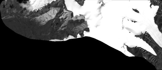
Quicklook
Copyright