TYPE:
SENSOR
LAYER:
DS_PHR1A_202109160458431_FR1_PX_E089N34_0201_00589
FORMAT:
DIMAP
RASTER:
image/tiff
General Information
Map Name
Geometric Processing Level
Radiometric Processing Level
BASIC
Image dimensions
Number of columns
7370
Number of rows
3179
Number of spectral bands
4
Dataset framing
Vertice
Longitude (DEG)
Latitude (DEG)
Row
Col
#1
89.04661827782505
33.8567577464289
1
#2
89.20565498237195
33.85702196054169
#3
89.20566506860916
33.80061680311244
#4
89.04637385716208
33.80035498291986
Dataset sources
PHR
Coordinate Reference System
Projected Coordinate System
Geocoding tables identification
EPSG(6.3)
Production
Production Date
2021-09-16T19:25:58.571
Job identification
5929585101-2
Dataset Producer Identification
AIRBUS DS GEO
Producer link
http://www.geo-airbusds.com
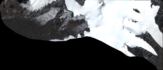
Quicklook
Copyright