TYPE:
SENSOR
LAYER:
DS_PHR1A_202109160458548_FR1_PX_E089N34_0201_00592
FORMAT:
DIMAP
RASTER:
image/tiff
General Information
Map Name
Geometric Processing Level
Radiometric Processing Level
BASIC
Image dimensions
Number of columns
7329
Number of rows
3219
Number of spectral bands
4
Dataset framing
Vertice
Longitude (DEG)
Latitude (DEG)
Row
Col
#1
89.04658332149809
33.85659408024274
1
#2
89.20747626884645
33.85900973666195
#3
89.20751999574685
33.80055699171282
#4
89.04624677078401
33.79783478361079
Dataset sources
PHR
Coordinate Reference System
Projected Coordinate System
Geocoding tables identification
EPSG(6.3)
Production
Production Date
2021-09-16T19:28:20.082
Job identification
5929584101-2
Dataset Producer Identification
AIRBUS DS GEO
Producer link
http://www.geo-airbusds.com
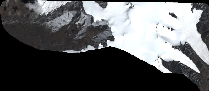
Quicklook
Copyright