TYPE:
SENSOR
LAYER:
DS_PHR1A_202109160458312_FR1_PX_E089N34_0201_00589
FORMAT:
DIMAP
RASTER:
image/tiff
General Information
Map Name
Geometric Processing Level
Radiometric Processing Level
BASIC
Image dimensions
Number of columns
7373
Number of rows
3172
Number of spectral bands
4
Dataset framing
Vertice
Longitude (DEG)
Latitude (DEG)
Row
Col
#1
89.04664224005451
33.85766083538985
1
#2
89.20546777316562
33.85672887607637
#3
89.20552715951465
33.80008761477056
#4
89.0465619429787
33.80131629000579
Dataset sources
PHR
Coordinate Reference System
Projected Coordinate System
Geocoding tables identification
EPSG(6.3)
Production
Production Date
2021-09-16T19:25:53.810
Job identification
5929583101-2
Dataset Producer Identification
AIRBUS DS GEO
Producer link
http://www.geo-airbusds.com
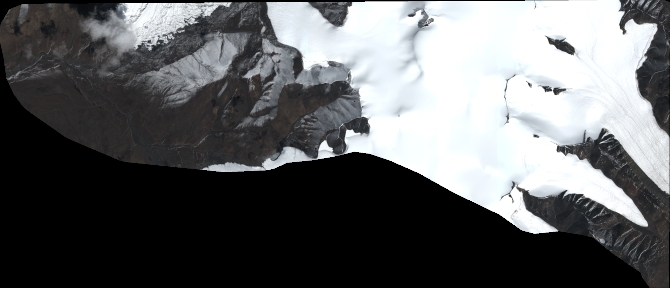
Quicklook
Copyright