TYPE:
SENSOR
LAYER:
DS_PHR1A_202108260837091_FR1_PX_E029S02_0216_01878
FORMAT:
DIMAP
RASTER:
image/tiff
General Information
Map Name
Geometric Processing Level
Radiometric Processing Level
BASIC
Image dimensions
Number of columns
38658
Number of rows
41672
Number of spectral bands
1
Dataset framing
Vertice
Longitude (DEG)
Latitude (DEG)
Row
Col
#1
29.00597939365962
-1.277446046168867
#2
29.18250984646853
-1.279909076834875
#3
29.18223832451077
-1.469380109490241
#4
29.0051121085699
-1.465840974092759
Dataset sources
PHR
Coordinate Reference System
Projected Coordinate System
Geocoding tables identification
EPSG(6.3)
Production
Production Date
2022-07-11T11:05:23.071
Job identification
6422606101-1
Dataset Producer Identification
AIRBUS DS GEO
Producer link
http://www.geo-airbusds.com
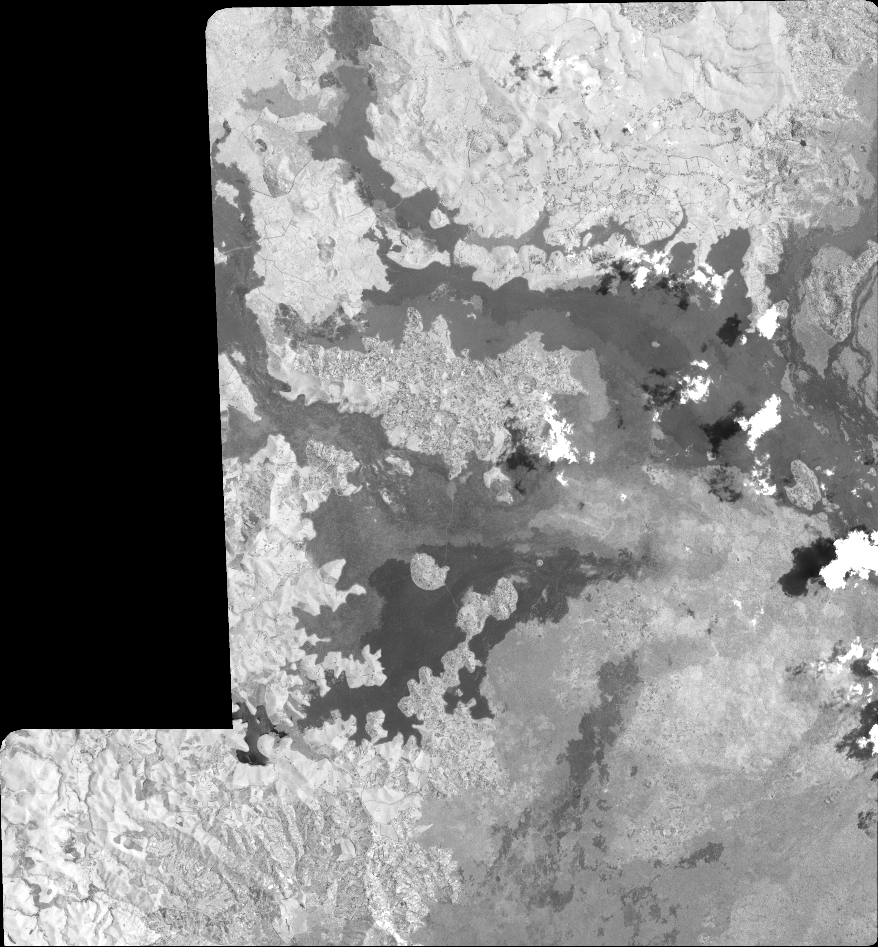
Quicklook
Copyright