TYPE:
SENSOR
LAYER:
DS_PHR1B_202108260420108_FR1_PX_E097N34_1118_00892
FORMAT:
DIMAP
RASTER:
image/tiff
General Information
Map Name
Geometric Processing Level
Radiometric Processing Level
BASIC
Image dimensions
Number of columns
39995
Number of rows
19475
Number of spectral bands
1
Dataset framing
Vertice
Longitude (DEG)
Latitude (DEG)
Row
Col
#1
97.76082967960241
34.76782586114586
#2
97.98498171560853
34.77243307083934
#3
97.98469475432677
34.68151485848809
#4
97.76119280388266
34.67706095421956
Dataset sources
PHR
Coordinate Reference System
Projected Coordinate System
Geocoding tables identification
EPSG(6.3)
Production
Production Date
2022-12-02T13:28:44.682
Job identification
6577992101-1
Dataset Producer Identification
AIRBUS DS GEO
Producer link
http://www.geo-airbusds.com
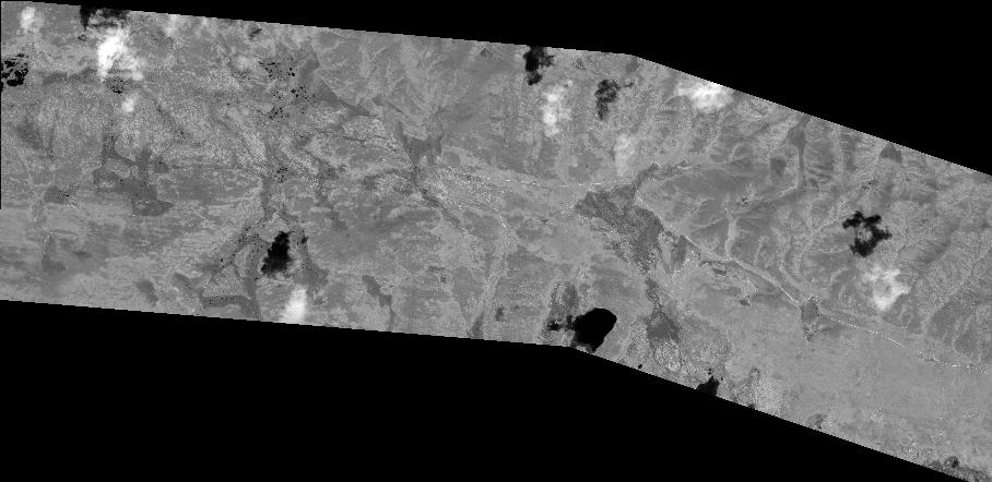
Quicklook
Copyright