TYPE:
SENSOR
LAYER:
DS_PHR1B_202108260420108_FR1_PX_E097N34_1118_00892
FORMAT:
DIMAP
RASTER:
image/tiff
General Information
Map Name
Geometric Processing Level
Radiometric Processing Level
BASIC
Image dimensions
Number of columns
9999
Number of rows
4869
Number of spectral bands
4
Dataset framing
Vertice
Longitude (DEG)
Latitude (DEG)
Row
Col
#1
97.76083974193459
34.7678227838723
1
#2
97.98498055010246
34.7724282600923
#3
97.98469346011352
34.68152000607436
#4
97.76120267634684
34.67706788423943
Dataset sources
PHR
Coordinate Reference System
Projected Coordinate System
Geocoding tables identification
EPSG(6.3)
Production
Production Date
2022-12-02T13:31:37.367
Job identification
6577992101-2
Dataset Producer Identification
AIRBUS DS GEO
Producer link
http://www.geo-airbusds.com
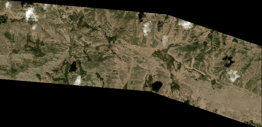
Quicklook
Copyright