TYPE:
SENSOR
LAYER:
DS_PHR1B_202108260420291_FR1_PX_E097N34_1118_00880
FORMAT:
DIMAP
RASTER:
image/tiff
General Information
Map Name
Geometric Processing Level
Radiometric Processing Level
BASIC
Image dimensions
Number of columns
39983
Number of rows
19239
Number of spectral bands
1
Dataset framing
Vertice
Longitude (DEG)
Latitude (DEG)
Row
Col
#1
97.76416558976389
34.76789206049992
#2
97.98173370785531
34.76820887979554
#3
97.98144447512787
34.68291613034024
#4
97.76436770468111
34.68248663993236
Dataset sources
PHR
Coordinate Reference System
Projected Coordinate System
Geocoding tables identification
EPSG(6.3)
Production
Production Date
2022-12-02T13:28:13.570
Job identification
6577991101-1
Dataset Producer Identification
AIRBUS DS GEO
Producer link
http://www.geo-airbusds.com
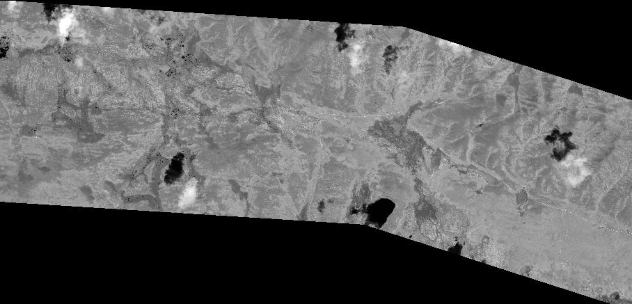
Quicklook
Copyright