TYPE:
SENSOR
LAYER:
DS_PHR1B_202108260420571_FR1_PX_E097N34_1118_00838
FORMAT:
DIMAP
RASTER:
image/tiff
General Information
Map Name
Geometric Processing Level
Radiometric Processing Level
BASIC
Image dimensions
Number of columns
10000
Number of rows
4564
Number of spectral bands
4
Dataset framing
Vertice
Longitude (DEG)
Latitude (DEG)
Row
Col
#1
97.76127500511079
34.76812035429964
1
#2
97.98463825688891
34.76806899479606
#3
97.98443497747857
34.68216898962891
#4
97.76135594086121
34.68166383042495
Dataset sources
PHR
Coordinate Reference System
Projected Coordinate System
Geocoding tables identification
EPSG(6.3)
Production
Production Date
2022-12-02T13:21:30.875
Job identification
6577966101-2
Dataset Producer Identification
AIRBUS DS GEO
Producer link
http://www.geo-airbusds.com
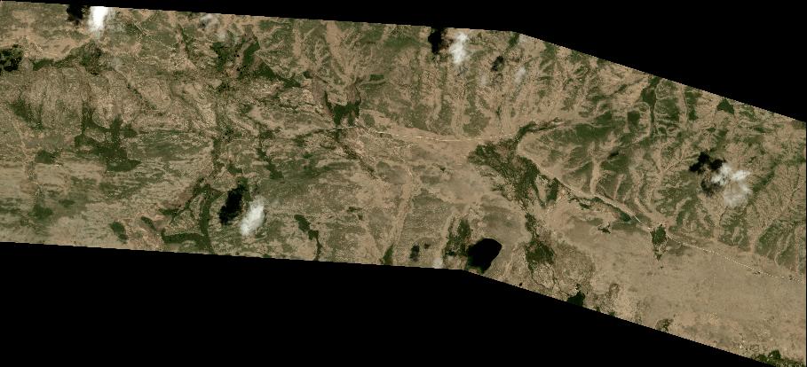
Quicklook
Copyright