TYPE:
SENSOR
LAYER:
DS_PHR1B_202108260420291_FR1_PX_E097N34_1118_00875
FORMAT:
DIMAP
RASTER:
image/tiff
General Information
Map Name
Geometric Processing Level
Radiometric Processing Level
BASIC
Image dimensions
Number of columns
39983
Number of rows
19136
Number of spectral bands
1
Dataset framing
Vertice
Longitude (DEG)
Latitude (DEG)
Row
Col
#1
97.76416974897275
34.76780893490626
#2
97.98173707872616
34.76812834953149
#3
97.98144811045894
34.68329280072337
#4
97.76436650979009
34.68286048529622
Dataset sources
PHR
Coordinate Reference System
Projected Coordinate System
Geocoding tables identification
EPSG(6.3)
Production
Production Date
2021-08-26T20:36:42.262
Job identification
5894517101-1
Dataset Producer Identification
AIRBUS DS GEO
Producer link
http://www.geo-airbusds.com
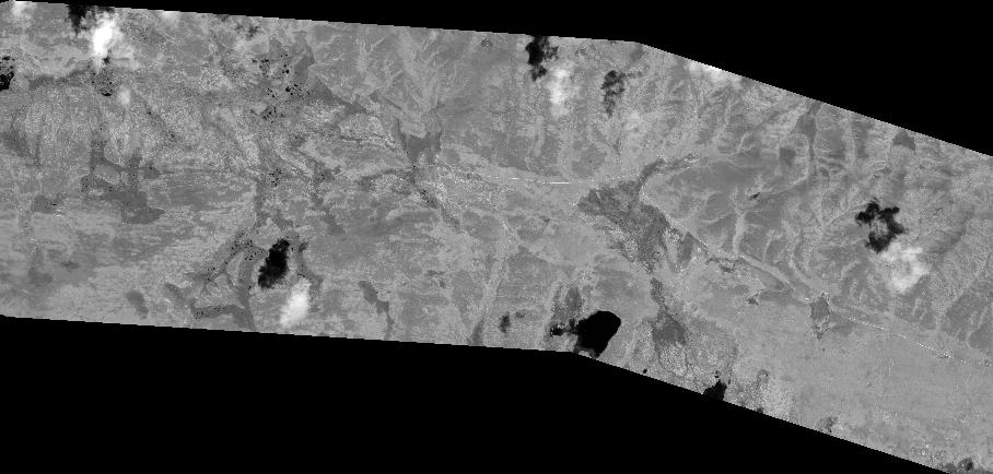
Quicklook
Copyright