TYPE:
SENSOR
LAYER:
DS_PHR1B_202108260420291_FR1_PX_E097N34_1118_00875
FORMAT:
DIMAP
RASTER:
image/tiff
General Information
Map Name
Geometric Processing Level
Radiometric Processing Level
BASIC
Image dimensions
Number of columns
9997
Number of rows
4784
Number of spectral bands
4
Dataset framing
Vertice
Longitude (DEG)
Latitude (DEG)
Row
Col
#1
97.76417576691115
34.76780341170545
1
#2
97.98175397951496
34.76812299570584
#3
97.98146454588593
34.68330062098182
#4
97.76437202727077
34.68286816826922
Dataset sources
PHR
Coordinate Reference System
Projected Coordinate System
Geocoding tables identification
EPSG(6.3)
Production
Production Date
2021-08-26T20:36:58.479
Job identification
5894517101-2
Dataset Producer Identification
AIRBUS DS GEO
Producer link
http://www.geo-airbusds.com
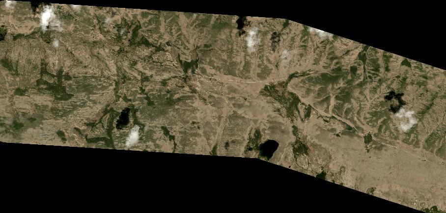
Quicklook
Copyright