TYPE:
SENSOR
LAYER:
DS_PHR1B_202108260420108_FR1_PX_E097N34_1118_00879
FORMAT:
DIMAP
RASTER:
image/tiff
General Information
Map Name
Geometric Processing Level
Radiometric Processing Level
BASIC
Image dimensions
Number of columns
40000
Number of rows
19196
Number of spectral bands
1
Dataset framing
Vertice
Longitude (DEG)
Latitude (DEG)
Row
Col
#1
97.76080590639076
34.76775826518212
#2
97.98498638344793
34.77236749234283
#3
97.98469721533864
34.68275030069053
#4
97.76117513076886
34.67831786708049
Dataset sources
PHR
Coordinate Reference System
Projected Coordinate System
Geocoding tables identification
EPSG(6.3)
Production
Production Date
2021-08-26T20:41:12.621
Job identification
5894515101-1
Dataset Producer Identification
AIRBUS DS GEO
Producer link
http://www.geo-airbusds.com
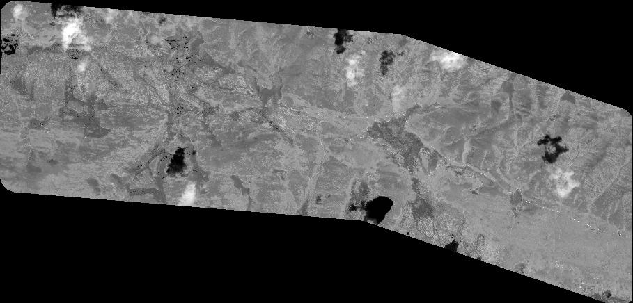
Quicklook
Copyright