TYPE:
SENSOR
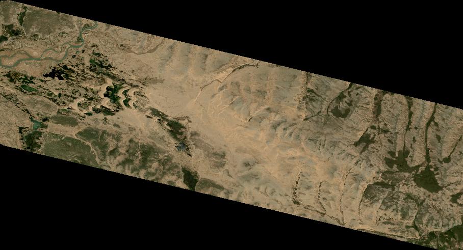
LAYER:
DS_PHR1B_202108260420193_FR1_PX_E098N34_0615_00988
FORMAT:
DIMAP
RASTER:
image/tiff
General Information
Map Name
Geometric Processing Level
Radiometric Processing Level
BASIC
Image dimensions
Number of columns
9997
Number of rows
5411
Number of spectral bands
4
Dataset framing
Vertice
Longitude (DEG)
Latitude (DEG)
Row
Col
#1
98.33931233062411
34.64656639968908
1
#2
98.55782509195768
34.64710106633142
#3
98.55771104946274
34.54919306147537
#4
98.33944270673751
34.54847316810927
Dataset sources
PHR
Coordinate Reference System
Projected Coordinate System
Geocoding tables identification
EPSG(6.3)
Production
Production Date
2021-08-26T20:37:22.427
Job identification
5894518101-2
Dataset Producer Identification
AIRBUS DS GEO
Producer link
http://www.geo-airbusds.com
Quicklook
Copyright