TYPE:
SENSOR
LAYER:
DS_PHR1B_202108260420475_FR1_PX_E098N34_0615_00997
FORMAT:
DIMAP
RASTER:
image/tiff
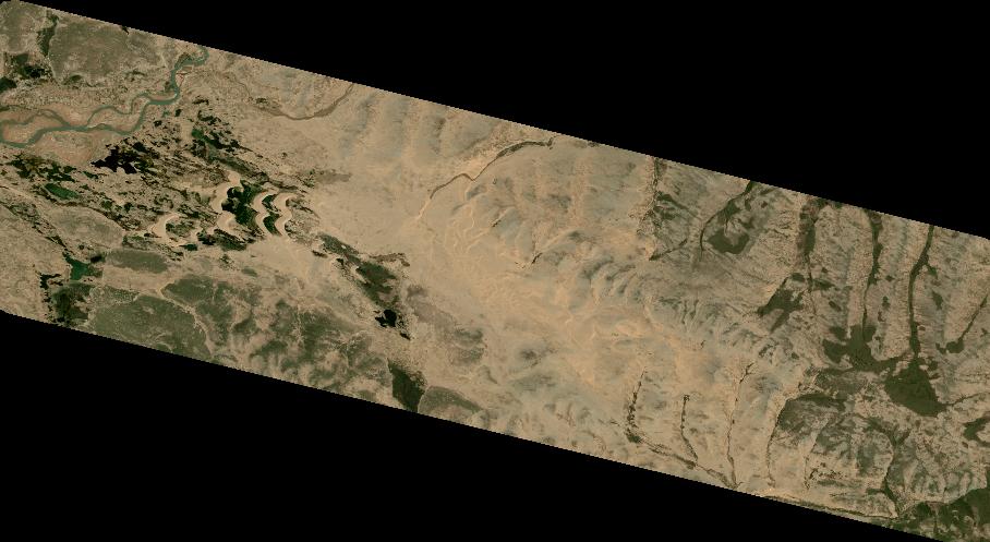
General Information
Map Name
Geometric Processing Level
Radiometric Processing Level
BASIC
Image dimensions
Number of columns
9998
Number of rows
5470
Number of spectral bands
4
Dataset framing
Vertice
Longitude (DEG)
Latitude (DEG)
Row
Col
#1
98.33922733101085
34.64653873213698
1
#2
98.55793084743513
34.6479853831439
#3
98.55778167945722
34.54913582611123
#4
98.3393048511803
34.54797869492594
Dataset sources
PHR
Coordinate Reference System
Projected Coordinate System
Geocoding tables identification
EPSG(6.3)
Production
Production Date
2021-08-26T20:37:05.685
Job identification
5894519101-2
Dataset Producer Identification
AIRBUS DS GEO
Producer link
http://www.geo-airbusds.com
Quicklook
Copyright