TYPE:
SENSOR
LAYER:
DS_PHR1B_202108260420108_FR1_PX_E097N34_1118_00879
FORMAT:
DIMAP
RASTER:
image/tiff
General Information
Map Name
Geometric Processing Level
Radiometric Processing Level
BASIC
Image dimensions
Number of columns
10000
Number of rows
4799
Number of spectral bands
4
Dataset framing
Vertice
Longitude (DEG)
Latitude (DEG)
Row
Col
#1
97.76081438894113
34.76775163798189
1
#2
97.98497819992092
34.77235979853576
#3
97.98468929093318
34.68275622843579
#4
97.76118396843063
34.67832523109884
Dataset sources
PHR
Coordinate Reference System
Projected Coordinate System
Geocoding tables identification
EPSG(6.3)
Production
Production Date
2021-08-26T20:41:49.641
Job identification
5894515101-2
Dataset Producer Identification
AIRBUS DS GEO
Producer link
http://www.geo-airbusds.com
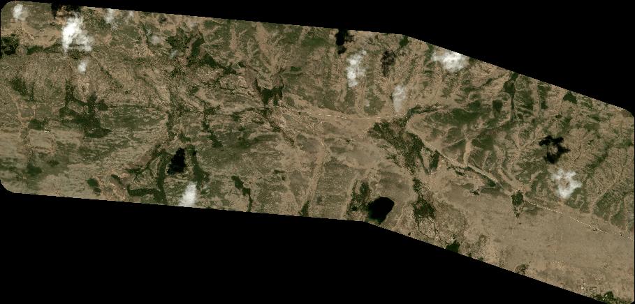
Quicklook
Copyright