TYPE:
SENSOR
LAYER:
DS_PHR1B_202108260420378_FR1_PX_E098N34_0615_00989
FORMAT:
DIMAP
RASTER:
image/tiff
General Information
Map Name
Geometric Processing Level
Radiometric Processing Level
BASIC
Image dimensions
Number of columns
39988
Number of rows
21688
Number of spectral bands
1
Dataset framing
Vertice
Longitude (DEG)
Latitude (DEG)
Row
Col
#1
98.34034611032793
34.64531939182844
#2
98.55679239515409
34.6455921901538
#3
98.55669099971908
34.54942862109849
#4
98.34047018578349
34.54927970249026
Dataset sources
PHR
Coordinate Reference System
Projected Coordinate System
Geocoding tables identification
EPSG(6.3)
Production
Production Date
2021-08-26T20:37:27.023
Job identification
5894520101-1
Dataset Producer Identification
AIRBUS DS GEO
Producer link
http://www.geo-airbusds.com
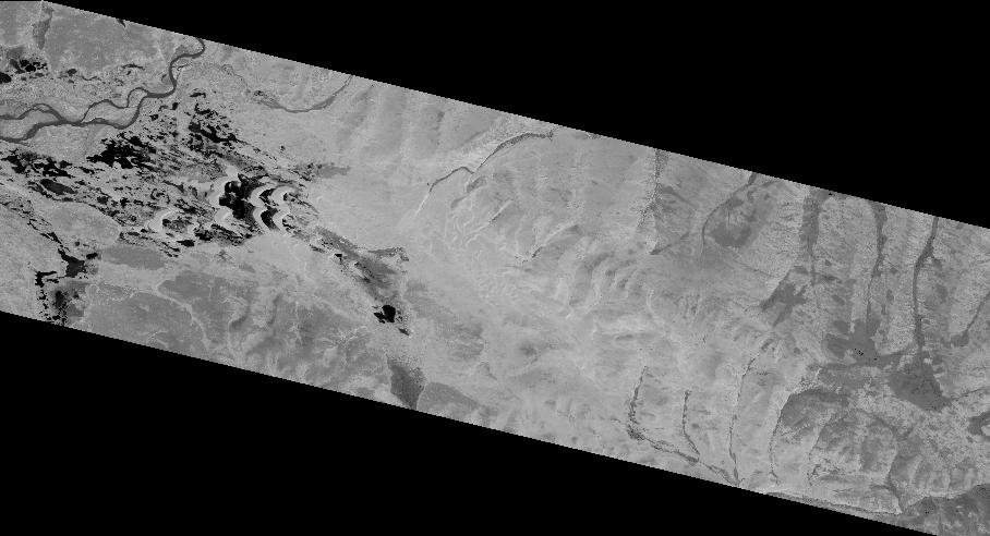
Quicklook
Copyright