TYPE:
ORTHO
LAYER:
DS_PHR1A_202108252045269_FR1_PX_W125N71_0220_00840
FORMAT:
DIMAP
RASTER:
image/tiff
General Information
Map Name
Geometric Processing Level
Radiometric Processing Level
BASIC
Image dimensions
Number of columns
7172
Number of rows
4835
Number of spectral bands
4
Dataset framing
Vertice
Longitude (DEG)
Latitude (DEG)
Row
Col
#1
-124.8729719031085
71.85912667203512
1
#2
-124.4615460962779
71.84989554675562
#3
-124.4823536543269
71.76348818123341
#4
-124.8919068184985
71.77267257925448
Dataset sources
PHR
Coordinate Reference System
Projected Coordinate System
Geocoding tables identification
EPSG(6.3)
Projected Coordinate System name
32609
Projected Coordinate System code
urn:ogc:def:crs:EPSG::32609
Geoposition
Upper - Left Map X Coordinate
643319
Upper - Left Map Y Coordinate
7978127
Image sampling
2 x 2
Production
Production Date
2021-08-26T10:30:19.392
Job identification
5894555101-2
Dataset Producer Identification
AIRBUS DS GEO
Producer link
http://www.geo-airbusds.com
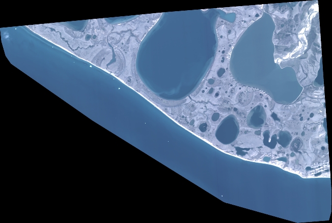
Quicklook
Copyright