TYPE:
ORTHO
LAYER:
DS_PHR1A_202103241043316_FR1_PX_E004N47_1208_01742
FORMAT:
DIMAP
RASTER:
image/tiff
General Information
Map Name
Geometric Processing Level
Radiometric Processing Level
BASIC
Image dimensions
Number of columns
2579
Number of rows
9787
Number of spectral bands
4
Dataset framing
Vertice
Longitude (DEG)
Latitude (DEG)
Row
Col
#1
4.913421929400841
47.39289019097082
1
#2
4.981703387561732
47.39172972352411
#3
4.97513403354327
47.21572042838627
#4
4.90707858765961
47.21687381223091
Dataset sources
PHR
Coordinate Reference System
Projected Coordinate System
Geocoding tables identification
EPSG(6.3)
Projected Coordinate System name
32631
Projected Coordinate System code
urn:ogc:def:crs:EPSG::32631
Geoposition
Upper - Left Map X Coordinate
644397
Upper - Left Map Y Coordinate
5250601
Image sampling
2 x 2
Production
Production Date
2021-04-14T16:12:07.616
Job identification
5685081101-2
Dataset Producer Identification
AIRBUS DS GEO
Producer link
http://www.geo-airbusds.com
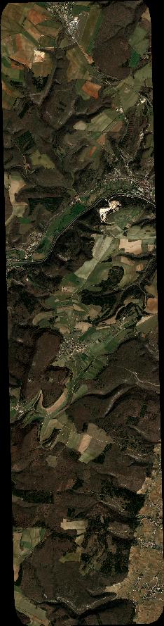
Quicklook
Copyright