TYPE:
ORTHO
LAYER:
DS_PHR1A_202103241043223_FR1_PX_E005N47_0108_01761
FORMAT:
DIMAP
RASTER:
image/tiff
General Information
Map Name
Geometric Processing Level
Radiometric Processing Level
BASIC
Image dimensions
Number of columns
40766
Number of rows
39985
Number of spectral bands
1
Dataset framing
Vertice
Longitude (DEG)
Latitude (DEG)
Row
Col
#1
4.939581170437099
47.39661000458282
#2
5.209497257858237
47.3917233674693
#3
5.202016704738959
47.21196308362734
#4
4.933012968334587
47.21681925658915
Dataset sources
PHR
Coordinate Reference System
Projected Coordinate System
Geocoding tables identification
EPSG(6.3)
Projected Coordinate System name
32631
Projected Coordinate System code
urn:ogc:def:crs:EPSG::32631
Geoposition
Upper - Left Map X Coordinate
646360.75
Upper - Left Map Y Coordinate
5251063.25
Image sampling
0.5 x 0.5
Production
Production Date
2021-04-14T16:20:16.179
Job identification
5685080101-1
Dataset Producer Identification
AIRBUS DS GEO
Producer link
http://www.geo-airbusds.com
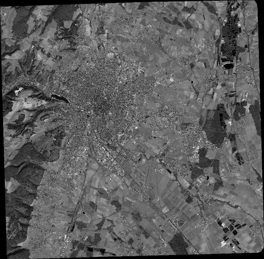
Quicklook
Copyright