TYPE:
ORTHO
LAYER:
DS_PHR1A_202103241043223_FR1_PX_E005N47_0108_01761
FORMAT:
DIMAP
RASTER:
image/tiff
General Information
Map Name
Geometric Processing Level
Radiometric Processing Level
BASIC
Image dimensions
Number of columns
10180
Number of rows
9997
Number of spectral bands
4
Dataset framing
Vertice
Longitude (DEG)
Latitude (DEG)
Row
Col
#1
4.939902260825306
47.39660231990037
1
#2
5.209493853670757
47.39172118343897
#3
5.20201331264144
47.21196089911697
#4
4.933332973551273
47.21681160572196
Dataset sources
PHR
Coordinate Reference System
Projected Coordinate System
Geocoding tables identification
EPSG(6.3)
Projected Coordinate System name
32631
Projected Coordinate System code
urn:ogc:def:crs:EPSG::32631
Geoposition
Upper - Left Map X Coordinate
646385
Upper - Left Map Y Coordinate
5251063
Image sampling
2 x 2
Production
Production Date
2021-04-14T16:21:11.619
Job identification
5685080101-2
Dataset Producer Identification
AIRBUS DS GEO
Producer link
http://www.geo-airbusds.com
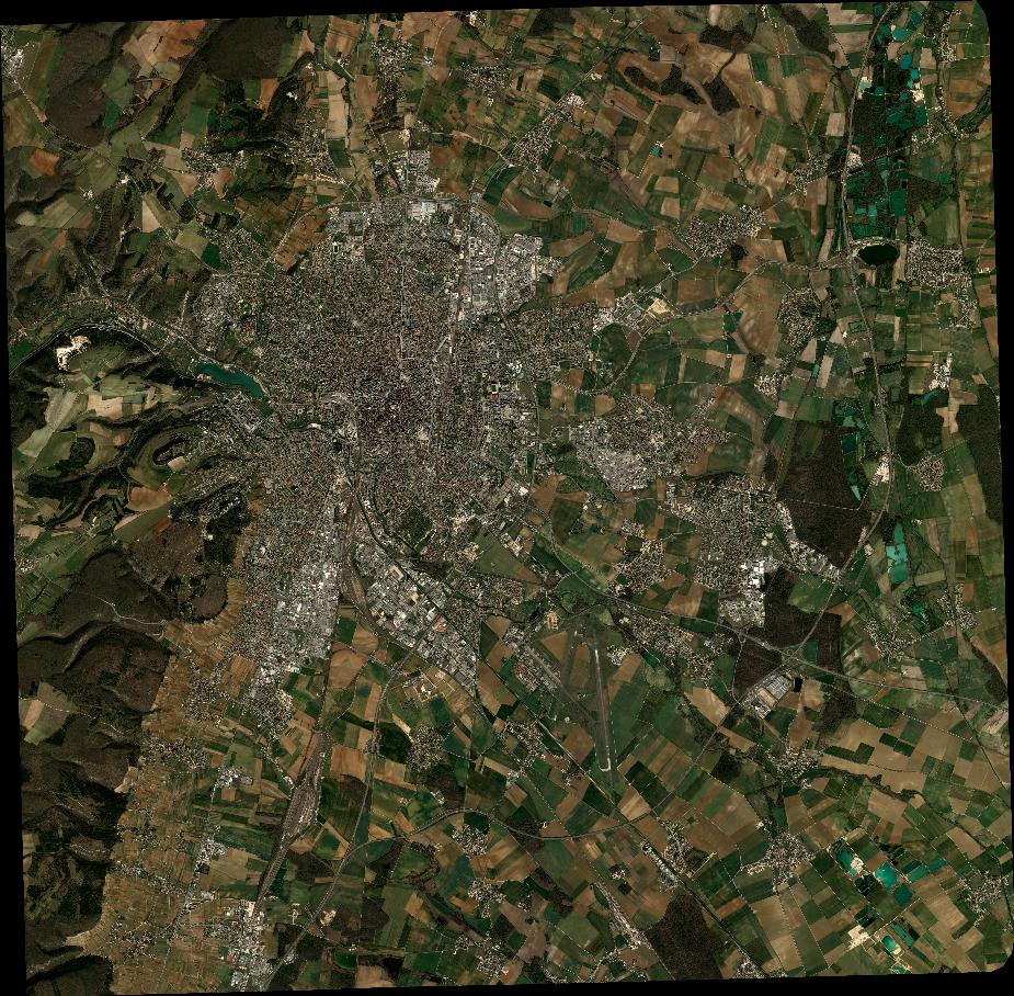
Quicklook
Copyright