TYPE:
ORTHO
LAYER:
DS_PHR1A_202103241043394_FR1_PX_E004N46_1019_02014
FORMAT:
DIMAP
RASTER:
image/tiff
General Information
Map Name
Geometric Processing Level
Radiometric Processing Level
BASIC
Image dimensions
Number of columns
40097
Number of rows
45698
Number of spectral bands
1
Dataset framing
Vertice
Longitude (DEG)
Latitude (DEG)
Row
Col
#1
4.703063799996243
46.8928666459371
#2
4.966093550705645
46.88865010148578
#3
4.95862304968767
46.68315488127245
#4
4.696591462959383
46.68734142862198
Dataset sources
PHR
Coordinate Reference System
Projected Coordinate System
Geocoding tables identification
EPSG(6.3)
Projected Coordinate System name
32631
Projected Coordinate System code
urn:ogc:def:crs:EPSG::32631
Geoposition
Upper - Left Map X Coordinate
629733.75
Upper - Left Map Y Coordinate
5194666.75
Image sampling
0.5 x 0.5
Production
Production Date
2021-04-14T16:14:30.121
Job identification
5685062101-1
Dataset Producer Identification
AIRBUS DS GEO
Producer link
http://www.geo-airbusds.com
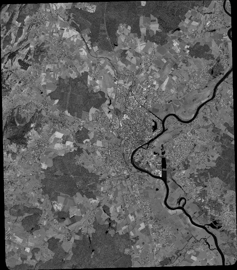
Quicklook
Copyright