TYPE:
ORTHO
LAYER:
DS_PHR1A_202103241043394_FR1_PX_E004N46_1019_02014
FORMAT:
DIMAP
RASTER:
image/tiff
General Information
Map Name
Geometric Processing Level
Radiometric Processing Level
BASIC
Image dimensions
Number of columns
10025
Number of rows
11425
Number of spectral bands
4
Dataset framing
Vertice
Longitude (DEG)
Latitude (DEG)
Row
Col
#1
4.703054030120242
46.89286904111673
1
#2
4.966083794031404
46.88865251893344
#3
4.958613492024682
46.68316179460827
#4
4.696581870521078
46.68734832050185
Dataset sources
PHR
Coordinate Reference System
Projected Coordinate System
Geocoding tables identification
EPSG(6.3)
Projected Coordinate System name
32631
Projected Coordinate System code
urn:ogc:def:crs:EPSG::32631
Geoposition
Upper - Left Map X Coordinate
629733
Upper - Left Map Y Coordinate
5194667
Image sampling
2 x 2
Production
Production Date
2021-04-14T16:12:24.309
Job identification
5685062101-2
Dataset Producer Identification
AIRBUS DS GEO
Producer link
http://www.geo-airbusds.com
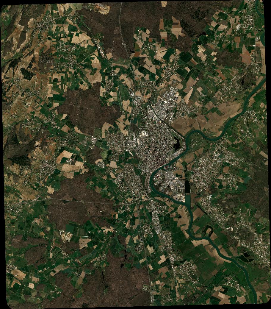
Quicklook
Copyright