TYPE:
ORTHO
LAYER:
DS_PHR1B_202103091059065_FR1_PX_E003N47_0201_02087
FORMAT:
DIMAP
RASTER:
image/tiff
General Information
Map Name
Geometric Processing Level
Radiometric Processing Level
BASIC
Image dimensions
Number of columns
36110
Number of rows
46871
Number of spectral bands
1
Dataset framing
Vertice
Longitude (DEG)
Latitude (DEG)
Row
Col
#1
3.030436559708321
47.13204354651869
#2
3.26850151013377
47.13173291567144
#3
3.267446151007357
46.9208501652282
#4
3.030316925511289
46.92115852736008
Dataset sources
PHR
Coordinate Reference System
Projected Coordinate System
Geocoding tables identification
EPSG(6.3)
Projected Coordinate System name
32631
Projected Coordinate System code
urn:ogc:def:crs:EPSG::32631
Geoposition
Upper - Left Map X Coordinate
502308.25
Upper - Left Map Y Coordinate
5219838.25
Image sampling
0.5 x 0.5
Production
Production Date
2021-04-14T16:21:42.752
Job identification
5685072101-1
Dataset Producer Identification
AIRBUS DS GEO
Producer link
http://www.geo-airbusds.com
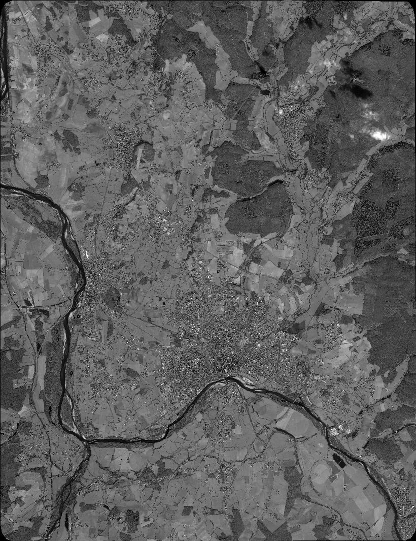
Quicklook
Copyright