TYPE:
ORTHO
LAYER:
DS_PHR1B_202103061032566_FR1_PX_E006N47_0106_01724
FORMAT:
DIMAP
RASTER:
image/tiff
General Information
Map Name
Geometric Processing Level
Radiometric Processing Level
BASIC
Image dimensions
Number of columns
10471
Number of rows
10354
Number of spectral bands
4
Dataset framing
Vertice
Longitude (DEG)
Latitude (DEG)
Row
Col
#1
5.888362702243809
47.33905391194437
1
#2
6.165148399822623
47.33173792818825
#3
6.154077594509901
47.14570096054006
#4
5.878256593333648
47.15296975399336
Dataset sources
PHR
Coordinate Reference System
Projected Coordinate System
Geocoding tables identification
EPSG(6.3)
Projected Coordinate System name
32631
Projected Coordinate System code
urn:ogc:def:crs:EPSG::32631
Geoposition
Upper - Left Map X Coordinate
718189
Upper - Left Map Y Coordinate
5246889
Image sampling
2 x 2
Production
Production Date
2021-04-14T16:17:46.805
Job identification
5685066101-2
Dataset Producer Identification
AIRBUS DS GEO
Producer link
http://www.geo-airbusds.com
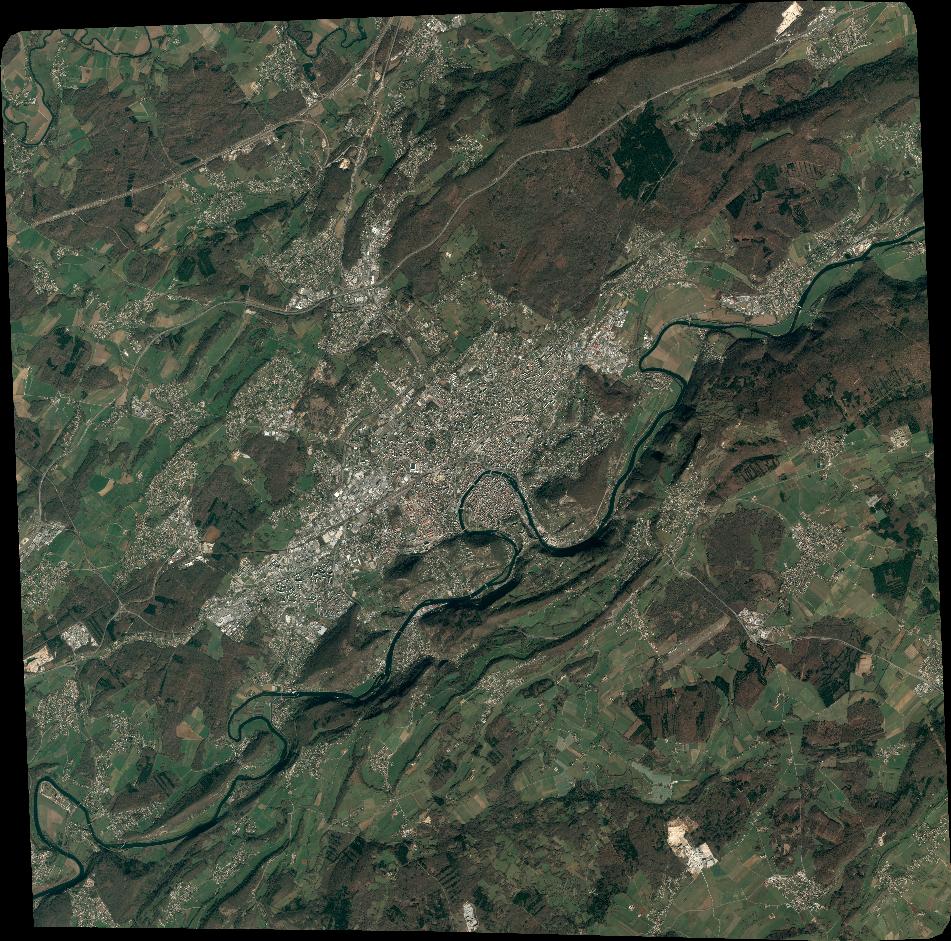
Quicklook
Copyright