TYPE:
SENSOR
LAYER:
DS_PHR1B_202103021445234_FR1_PX_W072S42_0220_01514
FORMAT:
DIMAP
RASTER:
image/jp2
General Information
Map Name
Geometric Processing Level
Radiometric Processing Level
BASIC
Image dimensions
Number of columns
35129
Number of rows
32784
Number of spectral bands
1
Dataset framing
Vertice
Longitude (DEG)
Latitude (DEG)
Row
Col
#1
-71.99526441738691
-41.08310413411566
#2
-71.77527257008826
-41.08763450867423
#3
-71.77522202488224
-41.24539445234537
#4
-71.99493223262976
-41.24233044711022
Dataset sources
PHR
Coordinate Reference System
Projected Coordinate System
Geocoding tables identification
EPSG(6.3)
Production
Production Date
2021-04-15T20:55:22.482
Job identification
5686714101-1
Dataset Producer Identification
AIRBUS DS GEO
Producer link
http://www.geo-airbusds.com
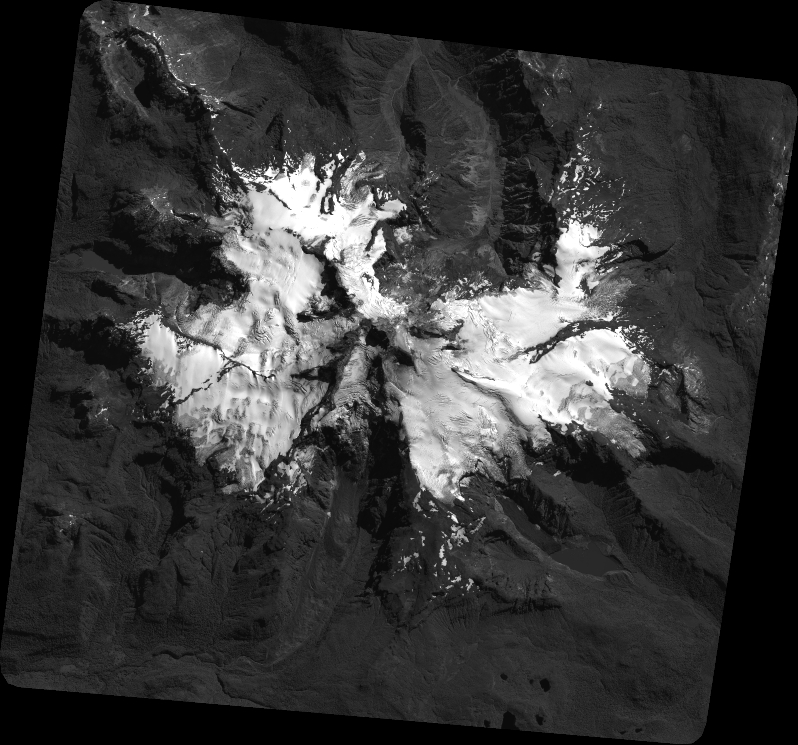
Quicklook
Copyright