TYPE:
SENSOR
LAYER:
DS_PHR1B_202103021444351_FR1_PX_W072S42_0221_01574
FORMAT:
DIMAP
RASTER:
image/jp2
General Information
Map Name
Geometric Processing Level
Radiometric Processing Level
BASIC
Image dimensions
Number of columns
34051
Number of rows
34469
Number of spectral bands
1
Dataset framing
Vertice
Longitude (DEG)
Latitude (DEG)
Row
Col
#1
-71.99497891694158
-41.08630868900648
#2
-71.77515822298643
-41.07776911728403
#3
-71.77527752149999
-41.24443959532311
#4
-71.9940815714303
-41.25279572596913
Dataset sources
PHR
Coordinate Reference System
Projected Coordinate System
Geocoding tables identification
EPSG(6.3)
Production
Production Date
2021-04-15T20:54:59.571
Job identification
5686714101-1
Dataset Producer Identification
AIRBUS DS GEO
Producer link
http://www.geo-airbusds.com
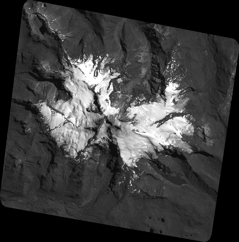
Quicklook
Copyright