TYPE:
SENSOR
LAYER:
DS_PHR1B_202103021445234_FR1_PX_W072S42_0220_01514
FORMAT:
DIMAP
RASTER:
image/jp2
General Information
Map Name
Geometric Processing Level
Radiometric Processing Level
BASIC
Image dimensions
Number of columns
8783
Number of rows
8197
Number of spectral bands
4
Dataset framing
Vertice
Longitude (DEG)
Latitude (DEG)
Row
Col
#1
-71.99524906761326
-41.08311573750808
1
#2
-71.77525775047852
-41.08764420967994
#3
-71.7752059497803
-41.24541313383267
#4
-71.99491463786102
-41.24235213563459
Dataset sources
PHR
Coordinate Reference System
Projected Coordinate System
Geocoding tables identification
EPSG(6.3)
Production
Production Date
2021-04-15T20:54:46.953
Job identification
5686714101-2
Dataset Producer Identification
AIRBUS DS GEO
Producer link
http://www.geo-airbusds.com
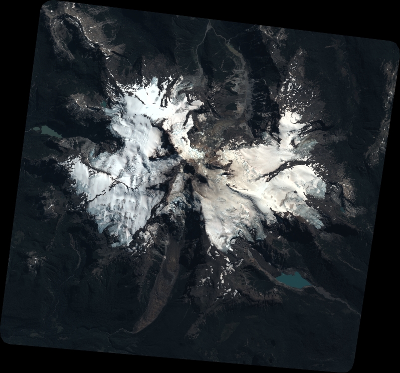
Quicklook
Copyright