TYPE:
SENSOR
LAYER:
DS_PHR1B_202103021444351_FR1_PX_W072S42_0221_01574
FORMAT:
DIMAP
RASTER:
image/jp2
General Information
Map Name
Geometric Processing Level
Radiometric Processing Level
BASIC
Image dimensions
Number of columns
8514
Number of rows
8618
Number of spectral bands
4
Dataset framing
Vertice
Longitude (DEG)
Latitude (DEG)
Row
Col
#1
-71.99498191354105
-41.08631108982559
1
#2
-71.77514993528183
-41.07777249479041
#3
-71.77526768923572
-41.24444141832541
#4
-71.99408496582726
-41.25279844092438
Dataset sources
PHR
Coordinate Reference System
Projected Coordinate System
Geocoding tables identification
EPSG(6.3)
Production
Production Date
2021-04-15T20:54:46.620
Job identification
5686714101-2
Dataset Producer Identification
AIRBUS DS GEO
Producer link
http://www.geo-airbusds.com
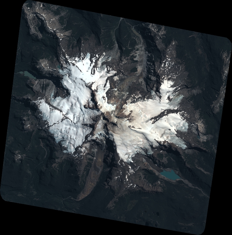
Quicklook
Copyright