TYPE:
SENSOR
LAYER:
DS_PHR1B_202101161440218_FR1_PX_W072S37_0804_01156
FORMAT:
DIMAP
RASTER:
image/tiff
General Information
Map Name
Geometric Processing Level
Radiometric Processing Level
BASIC
Image dimensions
Number of columns
21925
Number of rows
25460
Number of spectral bands
1
Dataset framing
Vertice
Longitude (DEG)
Latitude (DEG)
Row
Col
#1
-71.44577844825302
-36.80656334767705
#2
-71.30580289957963
-36.80724303864652
#3
-71.30285536919618
-36.92909194232345
#4
-71.44788151604453
-36.92904153663276
Dataset sources
PHR
Coordinate Reference System
Projected Coordinate System
Geocoding tables identification
EPSG(6.3)
Production
Production Date
2021-01-21T16:09:21.884
Job identification
5553108101-1
Dataset Producer Identification
AIRBUS DS GEO
Producer link
http://www.geo-airbusds.com
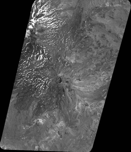
Quicklook
Copyright