TYPE:
SENSOR
LAYER:
DS_PHR1B_202101161440135_FR1_PX_W072S37_0804_01159
FORMAT:
DIMAP
RASTER:
image/tiff
General Information
Map Name
Geometric Processing Level
Radiometric Processing Level
BASIC
Image dimensions
Number of columns
21528
Number of rows
25520
Number of spectral bands
1
Dataset framing
Vertice
Longitude (DEG)
Latitude (DEG)
Row
Col
#1
-71.44562119982739
-36.80755060324341
#2
-71.30577937032639
-36.80513358732083
#3
-71.30257325357947
-36.92811565570265
#4
-71.44881316283256
-36.93229576467095
Dataset sources
PHR
Coordinate Reference System
Projected Coordinate System
Geocoding tables identification
EPSG(6.3)
Production
Production Date
2021-01-21T16:09:03.486
Job identification
5553108101-1
Dataset Producer Identification
AIRBUS DS GEO
Producer link
http://www.geo-airbusds.com
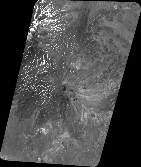
Quicklook
Copyright