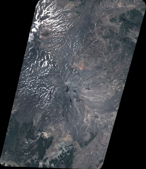
TYPE:
SENSOR
LAYER:
DS_PHR1B_202101161440218_FR1_PX_W072S37_0804_01156
FORMAT:
DIMAP
RASTER:
image/tiff
General Information
Map Name
Geometric Processing Level
Radiometric Processing Level
BASIC
Image dimensions
Number of columns
5482
Number of rows
6365
Number of spectral bands
4
Dataset framing
Vertice
Longitude (DEG)
Latitude (DEG)
Row
Col
#1
-71.44576272432894
-36.8065759069742
1
#2
-71.30578864182556
-36.80725537488254
#3
-71.3028413093394
-36.92909165968666
#4
-71.44786711912975
-36.92904138472422
Dataset sources
PHR
Coordinate Reference System
Projected Coordinate System
Geocoding tables identification
EPSG(6.3)
Production
Production Date
2021-01-21T16:16:11.532
Job identification
5553108101-2
Dataset Producer Identification
AIRBUS DS GEO
Producer link
http://www.geo-airbusds.com
Quicklook
Copyright