TYPE:
SENSOR
LAYER:
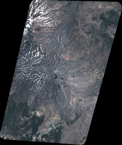
DS_PHR1B_202101161440135_FR1_PX_W072S37_0804_01159
FORMAT:
DIMAP
RASTER:
image/tiff
General Information
Map Name
Geometric Processing Level
Radiometric Processing Level
BASIC
Image dimensions
Number of columns
5383
Number of rows
6381
Number of spectral bands
4
Dataset framing
Vertice
Longitude (DEG)
Latitude (DEG)
Row
Col
#1
-71.44561944153588
-36.80755775858823
1
#2
-71.30577135965346
-36.80514070408433
#3
-71.30256613832968
-36.92812784062565
#4
-71.44881330994598
-36.93230820290192
Dataset sources
PHR
Coordinate Reference System
Projected Coordinate System
Geocoding tables identification
EPSG(6.3)
Production
Production Date
2021-01-21T16:08:46.527
Job identification
5553108101-2
Dataset Producer Identification
AIRBUS DS GEO
Producer link
http://www.geo-airbusds.com
Quicklook
Copyright