TYPE:
SENSOR
LAYER:
DS_PHR1B_202012301041336_FR1_PX_E006N43_1021_01476
FORMAT:
DIMAP
RASTER:
image/tiff
General Information
Map Name
Geometric Processing Level
Radiometric Processing Level
BASIC
Image dimensions
Number of columns
39507
Number of rows
32645
Number of spectral bands
1
Dataset framing
Vertice
Longitude (DEG)
Latitude (DEG)
Row
Col
#1
6.677326360040437
43.93438130867767
#2
6.933232979849946
43.93531902501969
#3
6.933348850245608
43.78661131152365
#4
6.676804968203855
43.78652357773316
Dataset sources
PHR
Coordinate Reference System
Projected Coordinate System
Geocoding tables identification
EPSG(6.3)
Production
Production Date
2021-01-13T17:26:39.949
Job identification
5545281101-1
Dataset Producer Identification
AIRBUS DS GEO
Producer link
http://www.geo-airbusds.com
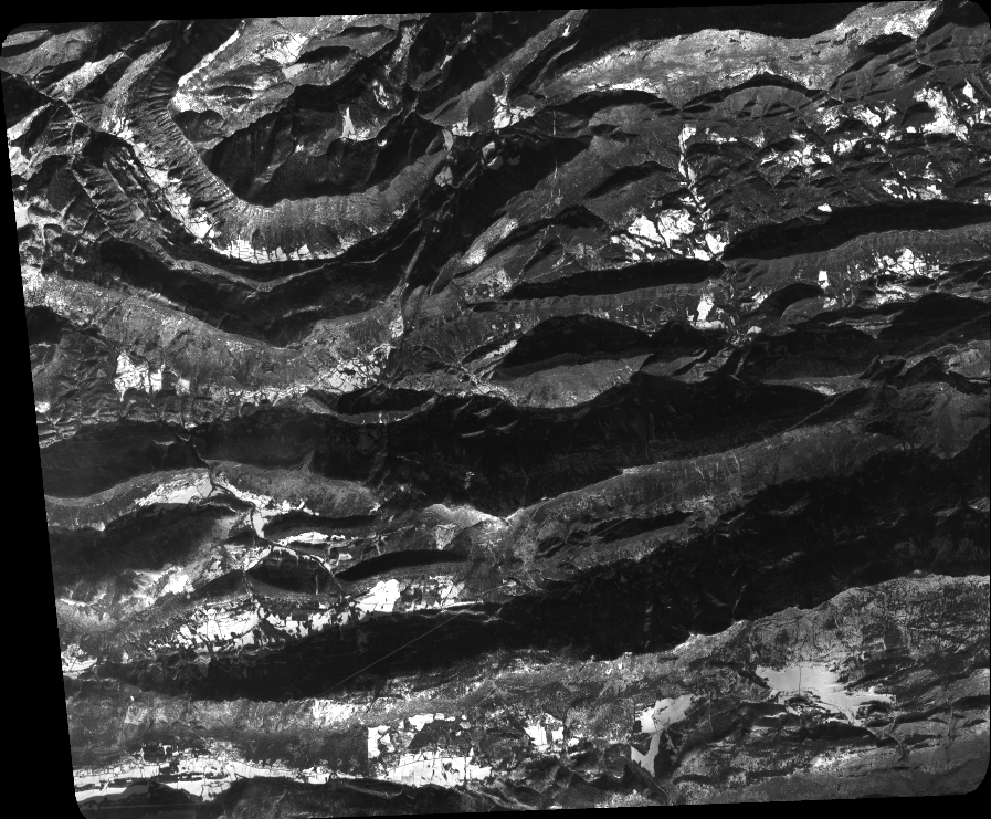
Quicklook
Copyright