TYPE:
SENSOR
LAYER:
DS_PHR1B_202012301041336_FR1_PX_E006N43_1021_01476
FORMAT:
DIMAP
RASTER:
image/tiff
General Information
Map Name
Geometric Processing Level
Radiometric Processing Level
BASIC
Image dimensions
Number of columns
9877
Number of rows
8161
Number of spectral bands
4
Dataset framing
Vertice
Longitude (DEG)
Latitude (DEG)
Row
Col
#1
6.677338062658649
43.93436779283031
1
#2
6.933233753090814
43.93530732539392
#3
6.933353021696229
43.78661963703791
#4
6.676820820249808
43.78652999461627
Dataset sources
PHR
Coordinate Reference System
Projected Coordinate System
Geocoding tables identification
EPSG(6.3)
Production
Production Date
2021-01-13T17:24:09.654
Job identification
5545281101-2
Dataset Producer Identification
AIRBUS DS GEO
Producer link
http://www.geo-airbusds.com
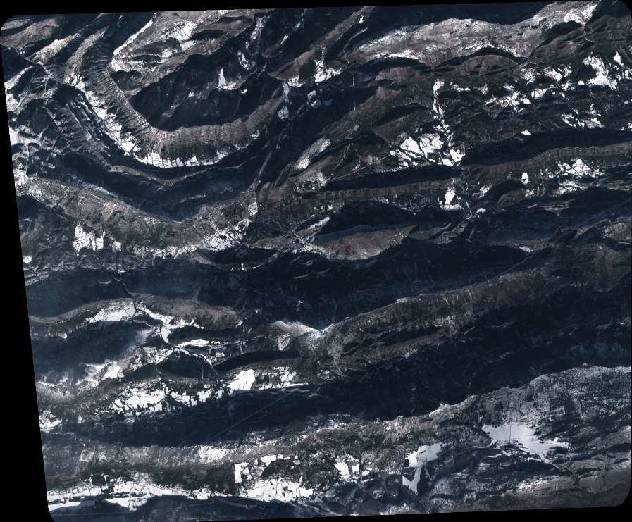
Quicklook
Copyright