TYPE:
SENSOR
LAYER:
DS_PHR1B_202011041111247_FR1_PX_W002N46_0805_01779
FORMAT:
DIMAP
RASTER:
image/jp2
General Information
Map Name
Geometric Processing Level
Radiometric Processing Level
BASIC
Image dimensions
Number of columns
7138
Number of rows
9871
Number of spectral bands
4
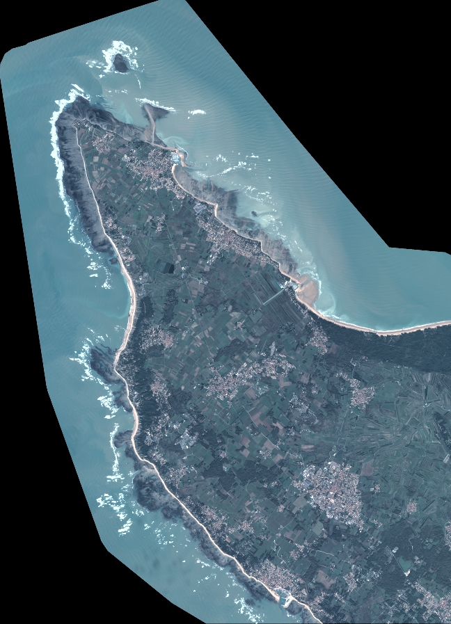
Dataset framing
Vertice
Longitude (DEG)
Latitude (DEG)
Row
Col
#1
-1.442656038911501
46.08172993761626
1
#2
-1.25772201308809
46.08168207820243
#3
-1.258159471883253
45.90542905383213
#4
-1.442585723509199
45.90557510853051
Dataset sources
PHR
Coordinate Reference System
Projected Coordinate System
Geocoding tables identification
EPSG(6.3)
Production
Production Date
2020-11-25T09:56:04.723
Job identification
5494065101-2
Dataset Producer Identification
AIRBUS DS GEO
Producer link
http://www.geo-airbusds.com
Quicklook
Copyright