TYPE:
SENSOR
LAYER:
DS_PHR1B_202011041111125_FR1_PX_W002N46_1007_01793
FORMAT:
DIMAP
RASTER:
image/jp2
General Information
Map Name
Geometric Processing Level
Radiometric Processing Level
BASIC
Image dimensions
Number of columns
8995
Number of rows
9950
Number of spectral bands
4
Dataset framing
Vertice
Longitude (DEG)
Latitude (DEG)
Row
Col
#1
-1.294645878411007
46.34399200471994
1
#2
-1.059795193080159
46.34377228311954
#3
-1.060098227910455
46.16492920650688
#4
-1.294250540066402
46.16523104721848
Dataset sources
PHR
Coordinate Reference System
Projected Coordinate System
Geocoding tables identification
EPSG(6.3)
Production
Production Date
2020-11-25T09:54:41.552
Job identification
5494064101-2
Dataset Producer Identification
AIRBUS DS GEO
Producer link
http://www.geo-airbusds.com
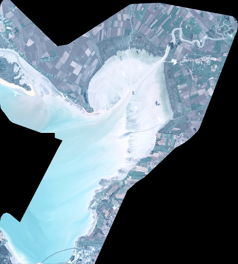
Quicklook
Copyright