TYPE:
SENSOR
LAYER:
DS_PHR1B_202011041111218_FR1_PX_W002N46_0805_01454
FORMAT:
DIMAP
RASTER:
image/jp2
General Information
Map Name
Geometric Processing Level
Radiometric Processing Level
BASIC
Image dimensions
Number of columns
39974
Number of rows
32168
Number of spectral bands
1
Dataset framing
Vertice
Longitude (DEG)
Latitude (DEG)
Row
Col
#1
-1.517088284915687
46.25765035776872
#2
-1.257434213416279
46.25776822344288
#3
-1.257676494537079
46.11420085132895
#4
-1.516706629764094
46.11416074630504
Dataset sources
PHR
Coordinate Reference System
Projected Coordinate System
Geocoding tables identification
EPSG(6.3)
Production
Production Date
2020-11-25T09:54:15.703
Job identification
5494063101-1
Dataset Producer Identification
AIRBUS DS GEO
Producer link
http://www.geo-airbusds.com
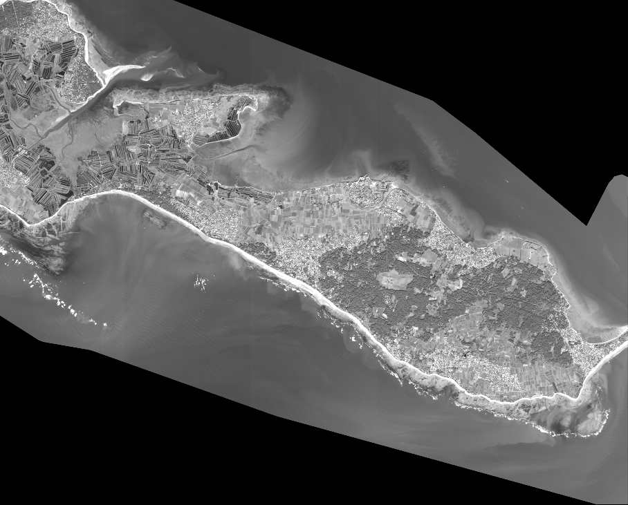
Quicklook
Copyright