TYPE:
SENSOR
LAYER:
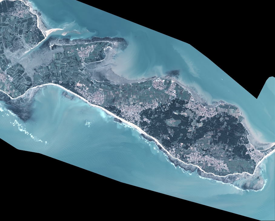
DS_PHR1B_202011041111218_FR1_PX_W002N46_0805_01454
FORMAT:
DIMAP
RASTER:
image/jp2
General Information
Map Name
Geometric Processing Level
Radiometric Processing Level
BASIC
Image dimensions
Number of columns
9994
Number of rows
8042
Number of spectral bands
4
Dataset framing
Vertice
Longitude (DEG)
Latitude (DEG)
Row
Col
#1
-1.517078525481331
46.25764366644076
1
#2
-1.257430969227895
46.25776150921969
#3
-1.257673241218802
46.1142075273785
#4
-1.51669693769784
46.11416743642189
Dataset sources
PHR
Coordinate Reference System
Projected Coordinate System
Geocoding tables identification
EPSG(6.3)
Production
Production Date
2020-11-25T10:02:14.410
Job identification
5494063101-2
Dataset Producer Identification
AIRBUS DS GEO
Producer link
http://www.geo-airbusds.com
Quicklook
Copyright