TYPE:
SENSOR
LAYER:
DS_PHR1B_202010231103500_FR1_PX_W002N46_1107_01853
FORMAT:
DIMAP
RASTER:
image/jp2
General Information
Map Name
Geometric Processing Level
Radiometric Processing Level
BASIC
Image dimensions
Number of columns
9598
Number of rows
10288
Number of spectral bands
4
Dataset framing
Vertice
Longitude (DEG)
Latitude (DEG)
Row
Col
#1
-1.294457107968771
46.18962494107766
1
#2
-1.037961929660805
46.18845143544139
#3
-1.038070591986878
46.00262049456433
#4
-1.293009311100553
46.00290920544947
Dataset sources
PHR
Coordinate Reference System
Projected Coordinate System
Geocoding tables identification
EPSG(6.3)
Production
Production Date
2020-11-25T10:05:00.642
Job identification
5494090101-2
Dataset Producer Identification
AIRBUS DS GEO
Producer link
http://www.geo-airbusds.com
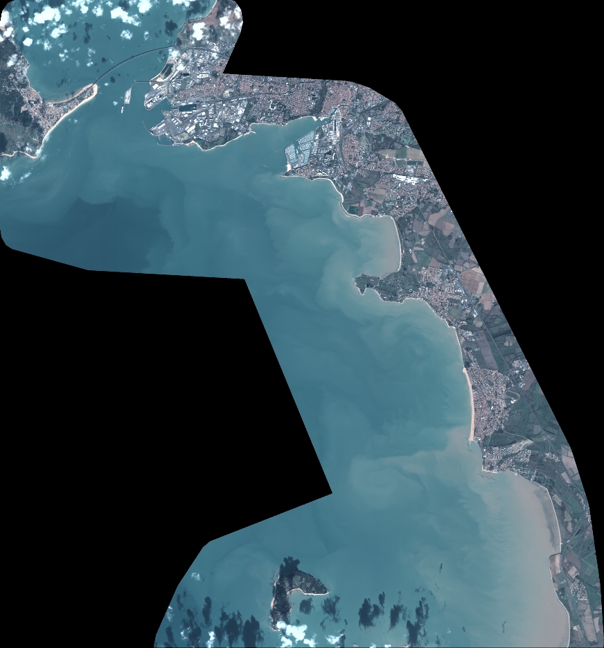
Quicklook
Copyright