TYPE:
SENSOR
LAYER:
DS_PHR1B_202010181052181_FR1_PX_W001N45_0122_03141
FORMAT:
DIMAP
RASTER:
image/jp2
General Information
Map Name
Geometric Processing Level
Radiometric Processing Level
BASIC
Image dimensions
Number of columns
19206
Number of rows
70131
Number of spectral bands
1
Dataset framing
Vertice
Longitude (DEG)
Latitude (DEG)
Row
Col
#1
-1.073376796266117
45.8027995226433
#2
-0.9165234039515355
45.8078616566554
#3
-0.9131123938340635
45.45711094650838
#4
-1.067455481181359
45.44964098622335
Dataset sources
PHR
Coordinate Reference System
Projected Coordinate System
Geocoding tables identification
EPSG(6.3)
Production
Production Date
2020-11-25T10:07:57.003
Job identification
5494114101-1
Dataset Producer Identification
AIRBUS DS GEO
Producer link
http://www.geo-airbusds.com
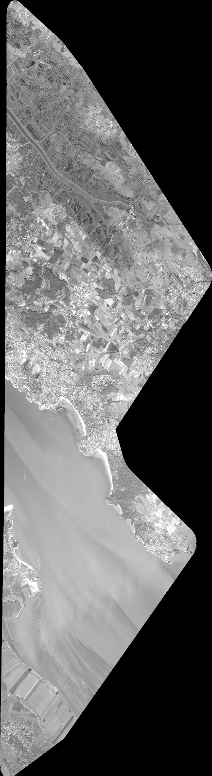
Quicklook
Copyright