TYPE:
SENSOR
LAYER:
DS_PHR1B_202010181052143_FR1_PX_W001N45_0124_01671
FORMAT:
DIMAP
RASTER:
image/jp2
General Information
Map Name
Geometric Processing Level
Radiometric Processing Level
BASIC
Image dimensions
Number of columns
24293
Number of rows
37032
Number of spectral bands
1
Dataset framing
Vertice
Longitude (DEG)
Latitude (DEG)
Row
Col
#1
-1.068900054133517
46.06955012050573
#2
-0.8690149192754864
46.0734851976049
#3
-0.8740038963484292
45.88797083262772
#4
-1.072536272050633
45.88233971572124
Dataset sources
PHR
Coordinate Reference System
Projected Coordinate System
Geocoding tables identification
EPSG(6.3)
Production
Production Date
2020-11-25T10:14:58.127
Job identification
5494113101-1
Dataset Producer Identification
AIRBUS DS GEO
Producer link
http://www.geo-airbusds.com
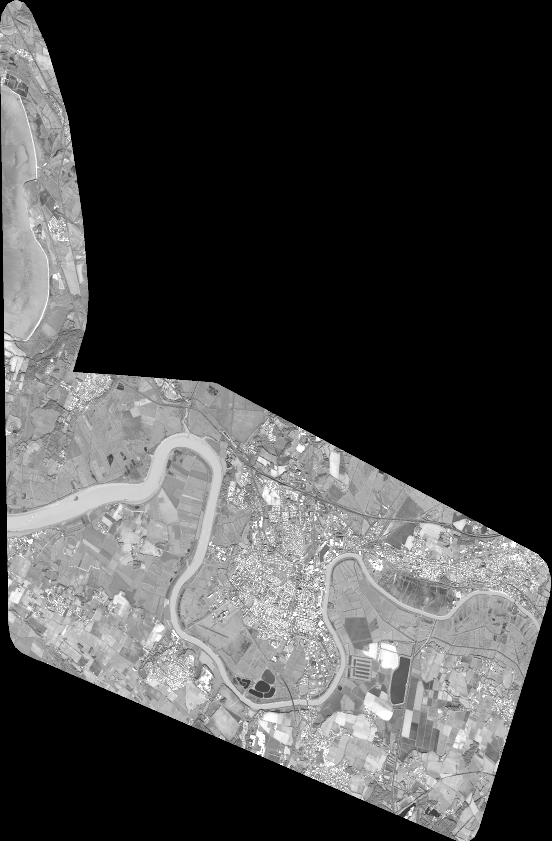
Quicklook
Copyright