TYPE:
SENSOR
LAYER:
DS_PHR1B_202010181052143_FR1_PX_W001N45_0124_01671
FORMAT:
DIMAP
RASTER:
image/jp2
General Information
Map Name
Geometric Processing Level
Radiometric Processing Level
BASIC
Image dimensions
Number of columns
6073
Number of rows
9258
Number of spectral bands
4
Dataset framing
Vertice
Longitude (DEG)
Latitude (DEG)
Row
Col
#1
-1.068870018162599
46.06954378360678
1
#2
-0.8690182809896422
46.07347874939682
#3
-0.8740076919740482
45.88798080898579
#4
-1.072507211973902
45.88235020480424
Dataset sources
PHR
Coordinate Reference System
Projected Coordinate System
Geocoding tables identification
EPSG(6.3)
Production
Production Date
2020-11-25T10:11:19.208
Job identification
5494113101-2
Dataset Producer Identification
AIRBUS DS GEO
Producer link
http://www.geo-airbusds.com
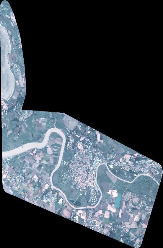
Quicklook
Copyright