TYPE:
ORTHO
LAYER:
DS_PHR1B_202010160759554_FR1_PX_E039N08_0201_00921
FORMAT:
DIMAP
RASTER:
image/tiff
General Information
Map Name
Geometric Processing Level
Radiometric Processing Level
BASIC
Image dimensions
Number of columns
5502
Number of rows
5504
Number of spectral bands
4
Dataset framing
Vertice
Longitude (DEG)
Latitude (DEG)
Row
Col
#1
39.10471012212988
8.06999138409685
1
#2
39.20456424074649
8.069953678247913
#3
39.20451449361117
7.970399045919677
#4
39.10468465794684
7.970436280757748
Dataset sources
PHR
Coordinate Reference System
Projected Coordinate System
Geocoding tables identification
EPSG(6.3)
Projected Coordinate System name
32637
Projected Coordinate System code
urn:ogc:def:crs:EPSG::32637
Geoposition
Upper - Left Map X Coordinate
511537
Upper - Left Map Y Coordinate
892037
Image sampling
2 x 2
Production
Production Date
2020-10-17T05:00:12.681
Job identification
5417823101-2
Dataset Producer Identification
AIRBUS DS GEO
Producer link
http://www.geo-airbusds.com
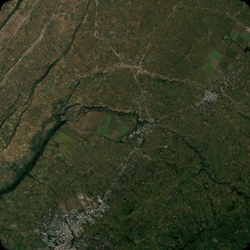
Quicklook
Copyright