TYPE:
SENSOR
LAYER:
DS_PHR1A_202010150005466_FR1_PX_E151S34_0407_01720
FORMAT:
DIMAP
RASTER:
image/tiff
General Information
Map Name
Geometric Processing Level
Radiometric Processing Level
LINEAR_STRETCH
Image dimensions
Number of columns
18761
Number of rows
38268
Number of spectral bands
1
Dataset framing
Vertice
Longitude (DEG)
Latitude (DEG)
Row
Col
#1
151.2536466072679
-33.64115057254133
#2
151.3567162881018
-33.64085909720013
#3
151.3568161375471
-33.8143912820595
#4
151.2535228721397
-33.81444532383825
Dataset sources
PHR
Coordinate Reference System
Projected Coordinate System
Geocoding tables identification
EPSG(6.3)
Production
Production Date
2020-10-15T20:51:56.887
Job identification
5413972101-1
Dataset Producer Identification
AIRBUS DS GEO
Producer link
http://www.geo-airbusds.com
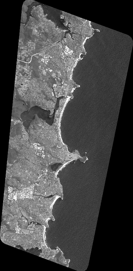
Quicklook
Copyright