TYPE:
SENSOR
LAYER:
DS_PHR1A_202010150005466_FR1_PX_E151S34_0407_01720
FORMAT:
DIMAP
RASTER:
image/tiff
General Information
Map Name
Geometric Processing Level
Radiometric Processing Level
LINEAR_STRETCH
Image dimensions
Number of columns
4691
Number of rows
9567
Number of spectral bands
4
Dataset framing
Vertice
Longitude (DEG)
Latitude (DEG)
Row
Col
#1
151.253654185083
-33.64115748249335
1
#2
151.3567239100712
-33.64086607713654
#3
151.3568224888952
-33.81438532604852
#4
151.253529226268
-33.81443930612513
Dataset sources
PHR
Coordinate Reference System
Projected Coordinate System
Geocoding tables identification
EPSG(6.3)
Production
Production Date
2020-10-15T20:51:26.936
Job identification
5413972101-2
Dataset Producer Identification
AIRBUS DS GEO
Producer link
http://www.geo-airbusds.com
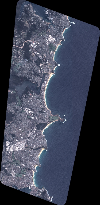
Quicklook
Copyright