TYPE:
SENSOR
LAYER:
DS_PHR1A_202010150005561_FR1_PX_E151S34_0407_01699
FORMAT:
DIMAP
RASTER:
image/tiff
General Information
Map Name
Geometric Processing Level
Radiometric Processing Level
LINEAR_STRETCH
Image dimensions
Number of columns
4641
Number of rows
9449
Number of spectral bands
4
Dataset framing
Vertice
Longitude (DEG)
Latitude (DEG)
Row
Col
#1
151.2536046663295
-33.64124477690072
1
#2
151.3567299445662
-33.63986058182021
#3
151.3568330606631
-33.81407447327042
#4
151.2535003669493
-33.81505894451958
Dataset sources
PHR
Coordinate Reference System
Projected Coordinate System
Geocoding tables identification
EPSG(6.3)
Production
Production Date
2020-10-15T20:49:19.988
Job identification
5413971101-2
Dataset Producer Identification
AIRBUS DS GEO
Producer link
http://www.geo-airbusds.com
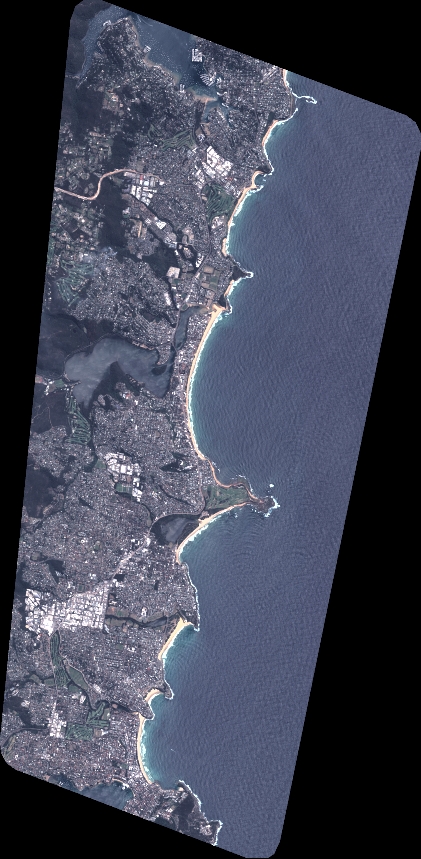
Quicklook
Copyright