TYPE:
SENSOR
LAYER:
DS_PHR1A_202010150005363_FR1_PX_E151S34_0407_01712
FORMAT:
DIMAP
RASTER:
image/tiff
General Information
Map Name
Geometric Processing Level
Radiometric Processing Level
LINEAR_STRETCH
Image dimensions
Number of columns
18795
Number of rows
38088
Number of spectral bands
1
Dataset framing
Vertice
Longitude (DEG)
Latitude (DEG)
Row
Col
#1
151.2536090229578
-33.641023547152
#2
151.3567259349108
-33.64150486411209
#3
151.3568719154098
-33.81476388759764
#4
151.2535209288128
-33.81422465281092
Dataset sources
PHR
Coordinate Reference System
Projected Coordinate System
Geocoding tables identification
EPSG(6.3)
Production
Production Date
2020-10-15T20:47:28.804
Job identification
5413970101-1
Dataset Producer Identification
AIRBUS DS GEO
Producer link
http://www.geo-airbusds.com
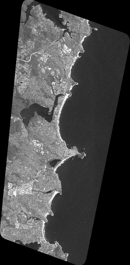
Quicklook
Copyright